UNDER DEVELOPMENT
")
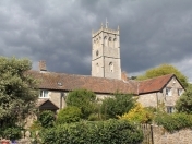
BLEADON SPACES & PLACES MAP
An interactive map with information on interesting places and points of interest also showing footpaths and public rights of way (PROW, select route from map legend), click an icon or route to get further detail and links to more information. To aid navigation and visibility, you can uncheck/check tick boxes to turn on/off layers of differing information catergories. If you would like to see anything else added please let us know.
See Findus, Travel, Walks for help getting here. Locate Map Reference or NSC GIS Map or NSC Find Service
View Bleadon Spaces & Places in a larger map |